This method shows the distance from one more centers (nodes) to each location on a street network.
Internally it uses IsoCostMulti and shares the NL and Offset parameters with this method.
StepList is a number of cost values, indicating which values are used as steps in generating the output. For instance steps 1, 2 and 3 will generate steps 0-1, 1-2 and 2-3.
SL is a list of identifiers for the output. As many as there are items in NL. If SL=nil, you will get 0,1,2... identifiers instead.
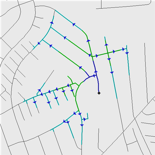
Output is a polyline theme and the polylines are dynamically segmented to show the exact position where it changes, which center is the nearest. Polylines are oriented so they point away from the center.
If you run this method in turnmode, certain smaller details next to actual turn restrictions may come out wrong.
Syntax: IsoLinkDriveTime(filename: string; GF: TGISformat; NL: TIntegerList; Offset: TCostArray; StepList: TStepList; SL: TStringList)
See also Isochrones - overview
Example: